


CENTRAL ANTI-ATLAS TRAVERSE: the northern border of the West African Craton
By DR. M. OUKASSOU, DR. H. EL HADI, DR. F. HAISSEN, DR. N. SABER
ITINERARY and OBJECTIVES
The south of Morocco is one of the most attractive touristic areas with diversified landscapes from snowy mountains to desert plains. The High Atlas with his 3000 to 4000 meters forms a major climatic barrier to the Atlantic perturbations, which account for the arid climate of the Anti Atlas sub Saharan domain south of the chain. These regions are occupied by berbere speaking populations with long hospitality tradition.
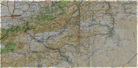
The two day trips follow most touristic roads and visit outstanding outcrops illustrating a central transect across the Anti-Atlas belt (figures G1 & G2), which corresponds to the external fold belt of the Hercynian (Variscan, Alleghanian) chain, but it also includes large Pan African inliers. The High Atlas formed during the Cenozoic at the expense of an aborted Triassic Jurassic rift. Therefore, three superimposed Wilsonian cycles can be illustrated during the trips. The itinerary will make possible to illustrate the complex geological history of these areas from 2 Ga to present day. Our purpose is to present and discuss various regional and thematic (sediment logical, structural, magmatic and
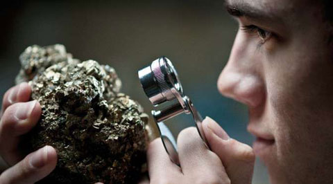
metamorphic) features, which record the main geodynamical events during this long geological history. Magnificent minerals (erhytrite, vanadinite...) and fossils (trilobites, goniatites...) can be purchased at many places.
During this field trip, the AgdzBou Azzer Tazenakht Agdzloop (figureG3)allows the participants to discover the PanAfrican belt (external platform domain in the Zenaga inlier, ophiolitic suture zone at Bou Azzer), the early volcano clastic cover sequence (late Neoproterozoic), and the mildly folded Early Paleozoic sediments (Cambrian and Ordovician).
Detailed road log for the trip are provided below along with Global Positioning Satellite (GPS) location at each stop. Note that all the stops are on public roads, and that the use of hammers and the collection of rocks are permitted.


Source web: DR. M. OUKASSOU, DR. H. EL HADI, DR. F. HAISSEN, DR. N. SABER sociedadgeologica.es
Les articles en relation

Découverte majeure à Smara : Laghchiwat, trésor rupestre saharien
Découverte majeure à Smara : Laghchiwat, trésor rupestre saharien Le site rupestre de Laghchiwat, découvert en 2009 au sud de Smara par le chercheur Mohammed Mouloud Baiba, constitue une découverte
Savoir plus...
Des dinosaures à Figuig
Des dinosaures à Figuig C’est inédit. Une équipe du laboratoire des «gîtes minéraux, hydrogéologie et environnement», de l’Université Mohammed Ier, a réce
Savoir plus...
Étages bioclimatiques et végétation : l’empreinte de l’aridité (Anti-Atlas) pour J. Riser
Étages bioclimatiques et végétation : l’empreinte de l’aridité (Anti-Atlas) pour J. Riser Les étages bioclimatiques de l’Anti-Atlas se classent en fonction de l’éloign
Savoir plus...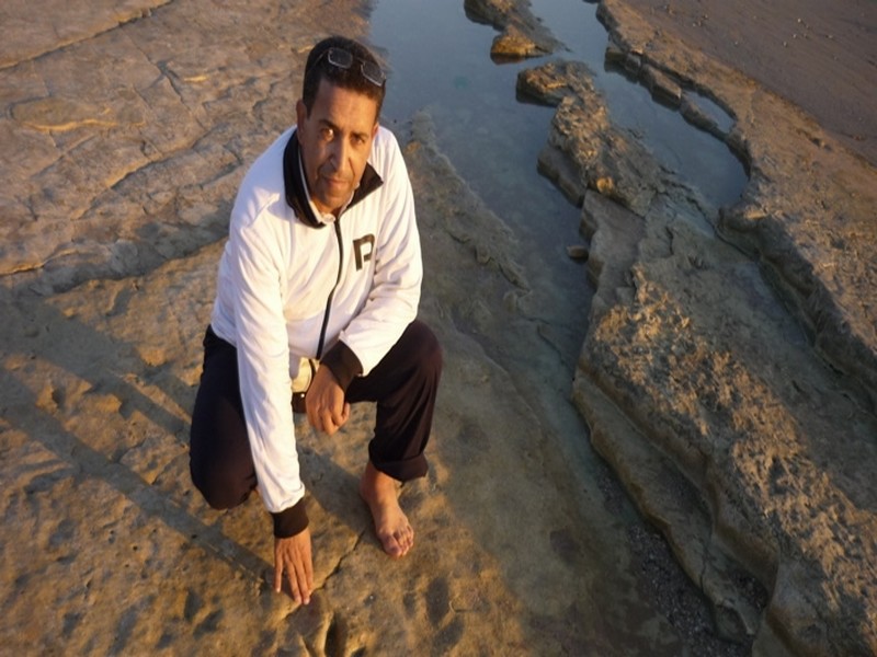
Découverte. Sur les traces des dinosaures d’Anza Beach, près d'Agadir
Des empreintes de dinosaures carnivores et de reptiles volants, vieux de 85 millions d'années, ont été retrouvés sur la plage d'Anza près d'Agadir. Les détails. C’est offici
Savoir plus...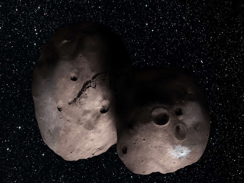
Aidez la Nasa à nommer cet étonnant astéroïde
Aidez la Nasa à nommer cet étonnant astéroïde Aux confins du Système solaire, à plus de 6,5 milliards de kilomètres de la Terre, l'énigmatique 2014 MU69 attend son surnom. La
Savoir plus...
L'eau est bien composée de deux liquides !
L'eau est bien composée de deux liquides ! Les étonnantes propriétés de l'eau liquide viennent bien de ce qu'elle fluctue entre deux états distincts, comme le montrent de nouvelles &eacu
Savoir plus...
Climat continental
Climat continental Un climat se définit grâce à différentes données météorologiques. Les températures et les précipitations sont déterminantes en la matière.
Savoir plus...
En marge de la COP22: Regards sur les réfugiés climatiques
En marge de la COP22: Regards sur les réfugiés climatiques Les associations œuvrant dans la migration foisonnent. Certaines structures sont susceptibles d’allier la cause migratoire à celle climatique
Savoir plus...
Climat : un coup de froid sur l'Europe dans les décennies à venir ?
Climat : un coup de froid sur l'Europe dans les décennies à venir ? L'ONU estime qu'il y a peu de chance que les objectifs de la COP 21 soient atteints et que le réchauffement climatique se restreigne
Savoir plus...
Défense de l'Environnement- Partenaires - durabilité
La défense de l’environnement ne s’arrête pas à nos frontières Les problèmes environnementaux n’ont pas de frontières. La destruction de la biodiversité ou le changeme
Savoir plus...
L'art préhistorique en 5 images exceptionnelles
Au cours du Paléolithique supérieur (période qui débute vers 30.000 av. J.-C.), les Hommes éprouvent le besoin de représenter leur quotidien et d'exprimer leurs émotions. Prése
Savoir plus...
Une nouvelle météorite s’est écrasée au Maroc
Une nouvelle météorite s’est écrasée au Maroc La météorite est tombée à 15 km de Foum Lahcen, dans le désert de Tata . Mercredi dernier, les habitants de la r&ea
Savoir plus...Les tags en relation
En savoir plus sur " Géologie et TSGJB - AMDGJB ! "
Consulter les vidéos de " Géologie et TSGJB - AMDGJB ! " Consulter les photos de " Géologie et TSGJB - AMDGJB ! " Consulter les publications de " Géologie et TSGJB - AMDGJB ! " Consulter les éditions de " Géologie et TSGJB - AMDGJB ! " Consulter les communications de " Géologie et TSGJB - AMDGJB ! "Recherche du site
Recherche avancée / SpécifiqueVulgarisation à la géologie
Qu'est ce que les sciences de la terre: vulgarisation Qu'est ce que la géologie ? Géologie et TSGJB - AMDGJB !
Géoparc et Recherche Scientifique
Le coins de l’étudiant
Blog Géoparc Jbel Bani
Dictionnaire scientifique
Plus de 123.000 mots scientifiques
Les publications
Géo parc Jbel Bani

Circuits & excursions touristiques
cartothéques
Photothéques
Publications & éditions